 The cover of the 1985 edition, which was the 2nd big printing. See
the Tech Notes for more detail.
 The cover of the 1985 edition, which was the 2nd big printing. See
the Tech Notes for more detail.
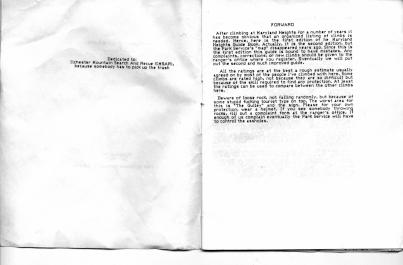 The forward of the guide. IMSAR also doubled as a trash removal and
trail crew. We belived that as climbers we should help the
environment. Most other climbers disliked MD Heights because of all
the loose rock. I always liked it as it was the only multi-pitch
climbing in that part of the country.
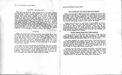 This information is probably out of date.
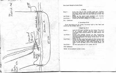 I had to hand-draw this map (I'm obviously not an artist) for a rough
perspective of where things were. There were no google maps back then.
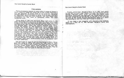 I know the camping scene has changed heavily, but back in the day we
primarily camped in two places, upriver past the sewage treatment
plant, or at the AT trail hut on the Maryland AT trail.
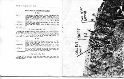 The photo of the rock was pretty poor to begin with, so the lines are
hard to see.
At this time most computers on campus were still using punched cards, and this was an early Unix based interactive system. So while waiting for things to get done (computers were not fast), I wrote this guide over a 6 month period, with the 1st edition coming out in 1983. This was printed on the campus printer, cause it was free, and xeroxing would have cost money.
The original motivation for the guide was after as series of rescues on the A-B climb slabs. People would look up and think they wre an easy way to the top, usually to get stuck on the small ledge half way up. Since the original "guide" that used to live in the Park office where you registered was long-lost, I figured a guide book would reduce the problems.
Someplace I have a copy of the guide as it came off the campus computer, these scans are a later edition. In 1985 I bought my first PC so I could work at home from my house in WVa. So this is a copy off my then brand new Epson dot-matrix printer. The editing was done with MS Word 1.0 on DOS 1.1. I kept a stack of copies in the Park office for people, as I was living up the road near Shepherdstown.
Soon after that I moved to Colorado with my new and expanding family, so pretty much lost the ability to keep copies in the office, plus kids can be a big distraction... Then in the early 90s some crazy people over I knew over the Net invented this thing called a web server and browser.
As I already had a high-speed (T1) line to my office in Nederland, CO, and a Unix server (Sun 3/260), I decided to convert the old document to a web page as an experiment with this new techonology. I had been running a public ftp server for a number of years anyway for rec.climbing. If you have to be a tech dude, I figure one might as well have fun. That version is still online at . Needless to say, it's incredibly out of date, but that's history...
For up to date online information, go to one of these two sites that have the best information. I've had great fun readiong through to see what kind of routes people have been doing since I moved to the mountains of Colorado to go ice climbing and back country sking. Indy's Maryland Guide and Conrad's Harpers Ferry Climbing sites.